Not a traffic model
For road closures, circulation plans, low-traffic neighbourhoods and traffic impact assessments.


Inside ANYWAYS
What a project looks like
A road network you can change, data that says where people travel, and a route planner that puts the two together.
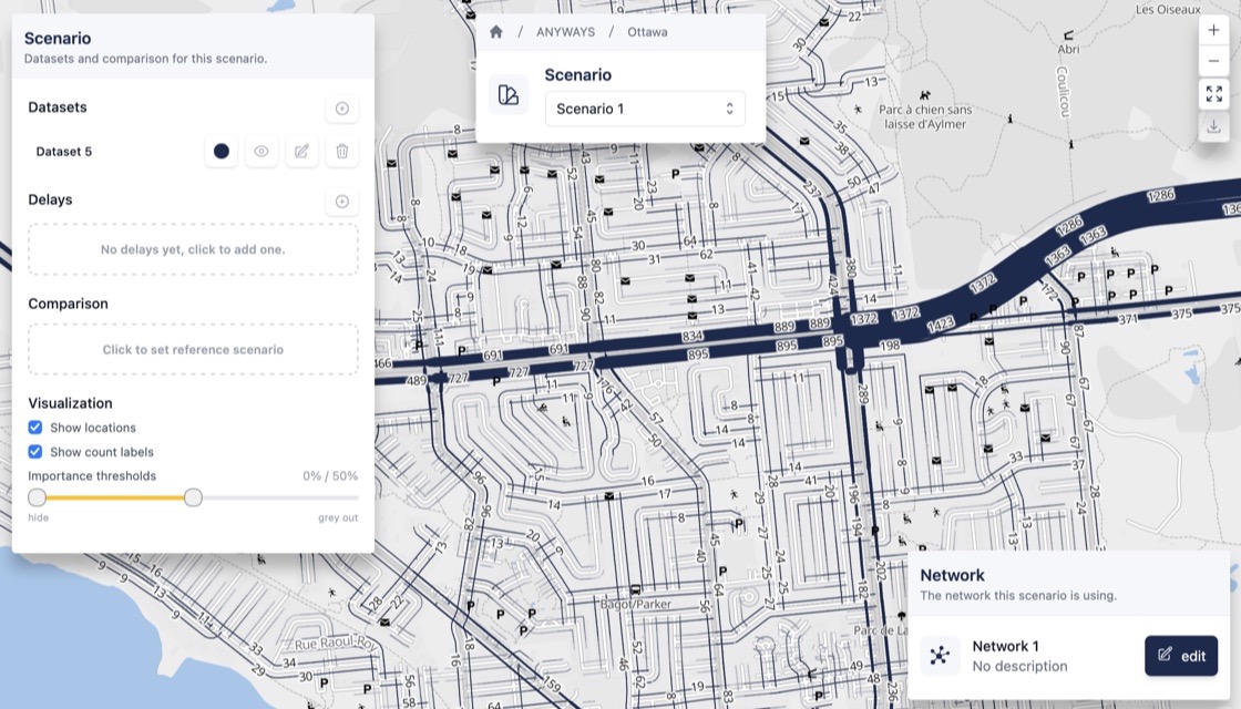
Scenario
Build scenarios by planning routes on a network
Edit the road network — close a street, reverse a one-way, ban a turn, limit access by vehicle type, draw a new link — and combine it with origin-destination data. All routes are planned on the edited network and you can explore the results or compare with another scenario.
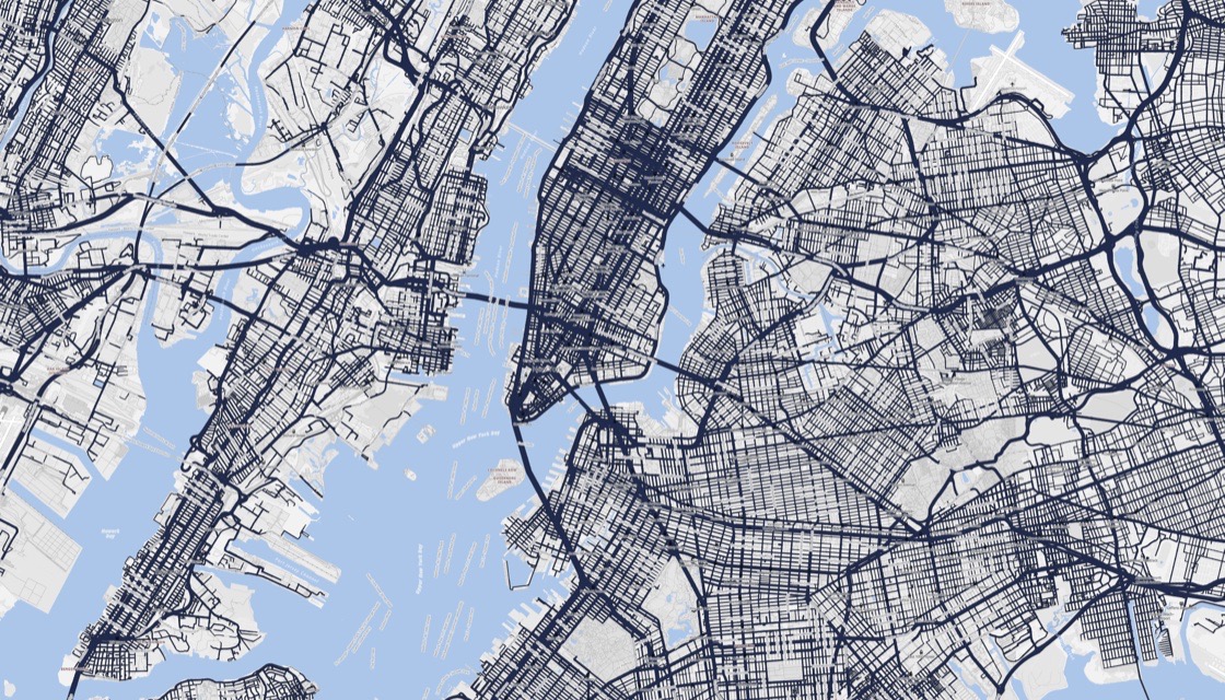
Origin-destination data
Data is ready, can be simulated or calibrated using traffic counts
ANYWAYS builds origin-destination data from a handful of traffic counts, in minutes. Or bring what you have, your own counts or use data from data sources like TomTom, HASTIG or any other source or model you have access to.
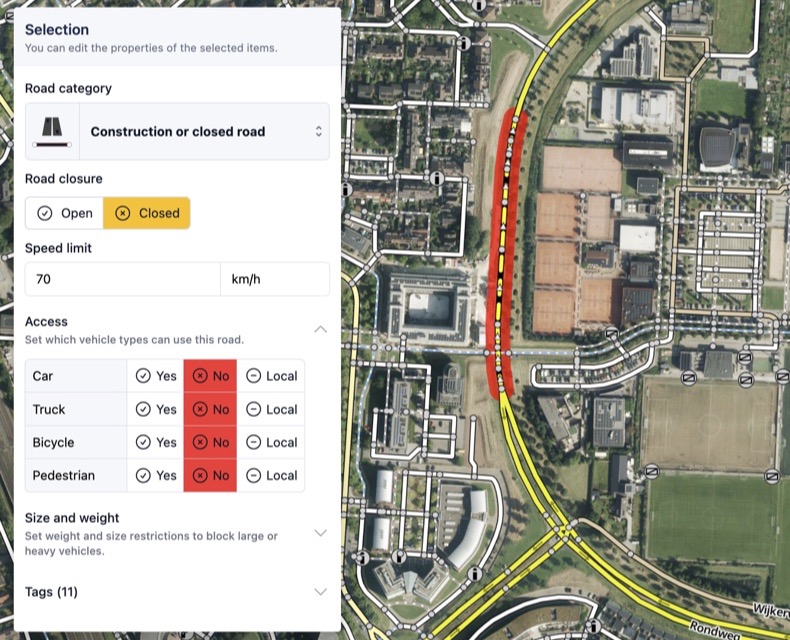
No set up
Network and data are already there
The whole OpenStreetMap network is prepared, and a simulated origin-destination dataset covers nearly the entire world. Start a project anywhere and run a first scenario in minutes.
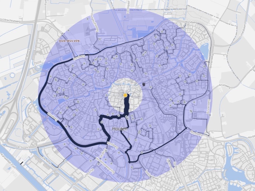
One location
How much traffic will it bring?
Put a school, shop, hospital or business park on the map and ANYWAYS spreads its visitors around the site and routes them. You see which roads carry them, and whether the access can take it.
Results
Results you can explain
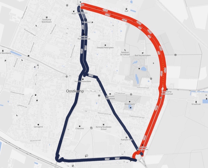
From the overall picture to a single street, made to discuss with decision makers, residents and colleagues. Volumes per segment and direction, two scenarios on one map, and click a street to see where its traffic comes from and goes to.
How does all this work?
Bring together road network changes
& data to build scenarios
Edit the road network and combine it with data to build scenarios.
Edit the road network
Close streets, change directions, or adjust access to reflect temporary or permanent changes.
Bring things together in a scenario
See how traffic redistributes, which streets take more or less traffic, and how different scenarios compare.
Drive the analysis with data
Use origin–destination (OD) data to drive the analysis. Use traffic counts data or bring your own.
Share the result
Share clear, explainable results with clients and decision-makers to justify design choices and mitigation measures.
- Edit the network directly
- Modify a private road network and see routing adapt immediately.
- Explainable results
- Clear, consistent outcomes, not a black box.
- Real-time feedback
- Test scenarios and compare results instantly.
- No setup required
- You can start a new project, anywhere in the world, instantly.
Our approach is unique
We do things
a little different
Traffic models are powerful tools. But they are also complex to set up, difficult to maintain, and often hard to explain. For many mobility studies, this level of complexity quickly becomes disproportionate to the questions being asked.
That’s why ANYWAYS takes a different approach.
Not a traffic model
ANYWAYS is built on top of a customizable route planner.
Instead of setting up and calibrating a traffic model, you edit the road network directly and immediately see how routing and traffic patterns change.
This makes scenario testing fast, consistent, and transparent.
In practice
Use cases
Planning studies where scenario comparison matters more than detailed calibration.
Low Traffic Neighbourhoods
Through-traffic is filtered or removed from residential streets to improve safety and liveability.
The key concern is where traffic reroutes and which surrounding streets are affected.
ANYWAYS lets you test different filtering and access scenarios and see how traffic redistributes across the wider network.

Traffic Impact Assessments (TIA)
New developments or land-use changes generate additional traffic on the surrounding network.
The question is how this added demand interacts with existing routes and capacity.
You can apply origin–destination data to network changes so you can quickly evaluate different assumptions.

Events and temporary measures
Large events with temporary closures, access restrictions, or traffic management plans.
How will people travel to and from the event, and where will traffic concentrate?
ANYWAYS lets you test alternative access and closure scenarios and identify pressure points ahead of time.

Road works
Temporary road closures or capacity reductions during construction or maintenance.
It is important to anticipate diversion routes and identify where mitigation may be needed.
ANYWAYS allows you to test diversion scenarios in advance and assess their impact before works begin.

Real projects, real impact
A proven approach
Consultancies and traffic engineers rely on ANYWAYS to analyse road network changes across a wide range of studies.
“We're not going to become modelling specialists, but a tool like ANYWAYS helps us with the work we do.”
- 483
- projects created
- 1,472
- scenarios built
- 21,146
- road network changes
Where projects have been created in ANYWAYS.